Hikes
A log of the trails I've hiked — ratings, my thoughts, and photos from the trail.
Gothic Basin to Foggy Lake
🌲 Mt. Baker-Snoqualmie National Forest
- Distance
- ~9.9 miles round trip
- Elevation gain
- ~2,840 ft
- Drive
- ~1.5 hrs from Seattle
- Dogs / kids
- Dog friendly (leashed); not kid friendly
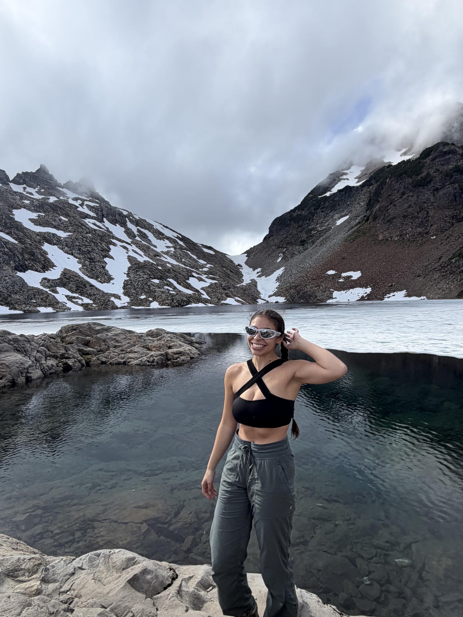
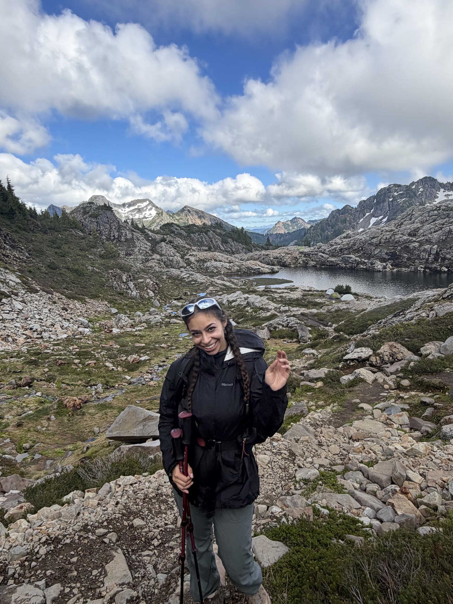
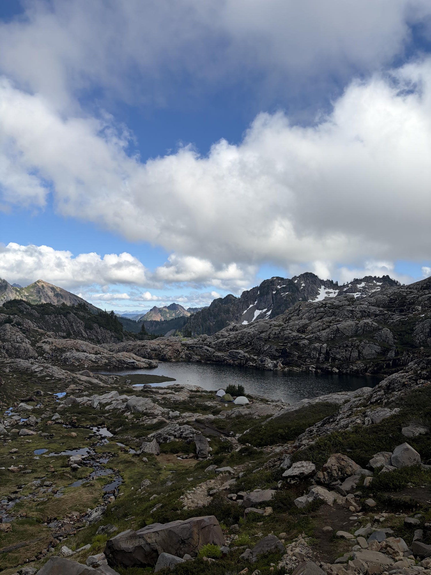
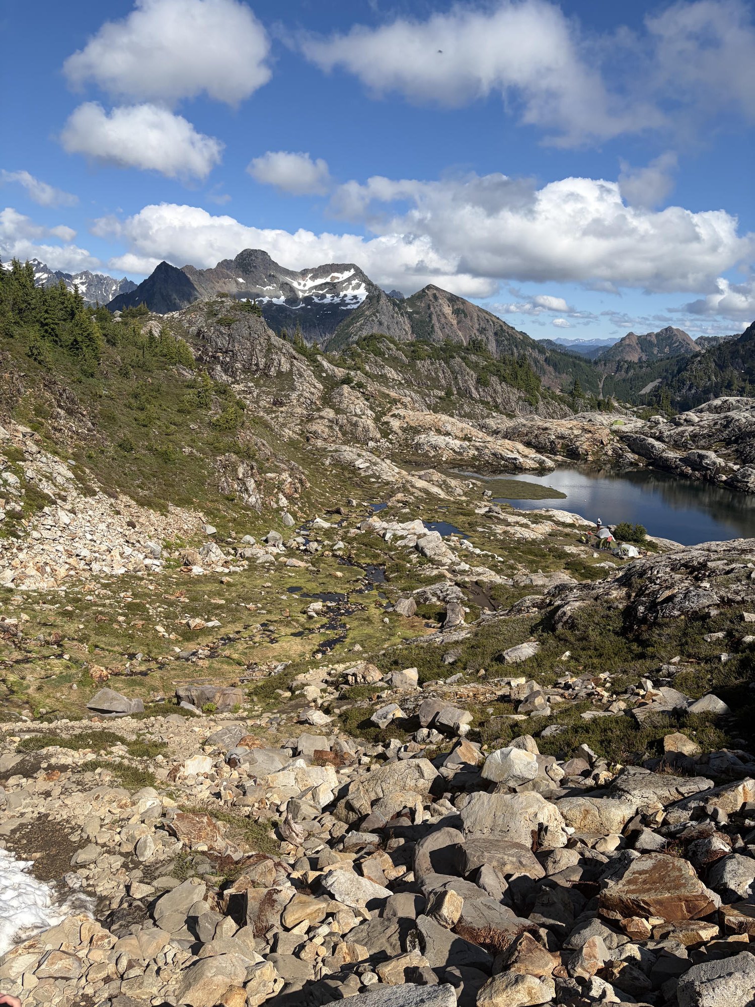
Great return on investment for the drive, near Granite Falls, for how beautiful it is. The first mile or so is nearly flat, then it climbs hard through the forest for a good chunk of the way. The forest section smells amazing, wasn't too packed (I went July 4th), and had some wildflowers. Eventually it opens up into more of an alpine bench walk with views of the surrounding mountains, plus waterfalls and viewpoints that make the climb feel satisfying. At the top the lakes are absolutely gorgeous — you can camp and backpack up there, and it'd be an incredible spot to jump in later in summer. Snow note: the trail generally melts out through July, and Foggy Lake often stays frozen into late July or early August — on my July 4th visit it was still mostly frozen over. Where it shines is as a good long-ish hike that's not too difficult but close to Seattle, with a lake to swim in once summer really kicks in.
Mt. Adams (South Climb)
🌲 Mt. Adams Wilderness, Gifford Pinchot National Forest
- Distance
- ~11 miles round trip (South Climb)
- Elevation gain
- ~6,700 ft
- Drive
- ~4.5 hrs from Seattle
- Summit
- 12,281 ft — 2nd highest in WA
- Gear needed
- Ice axe + crampons
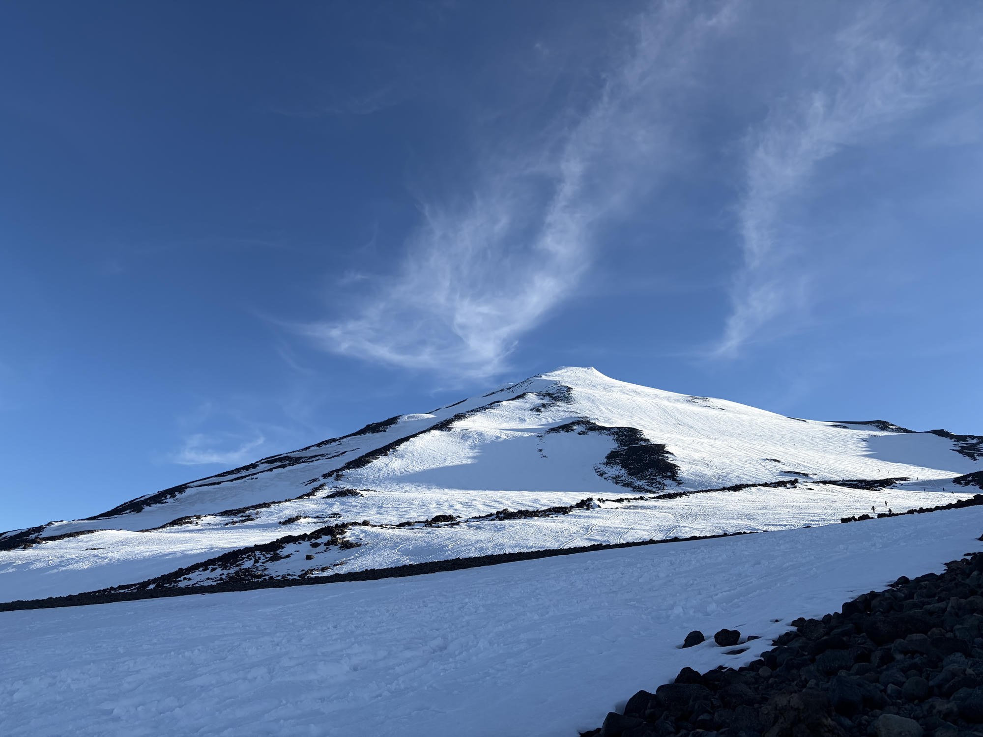
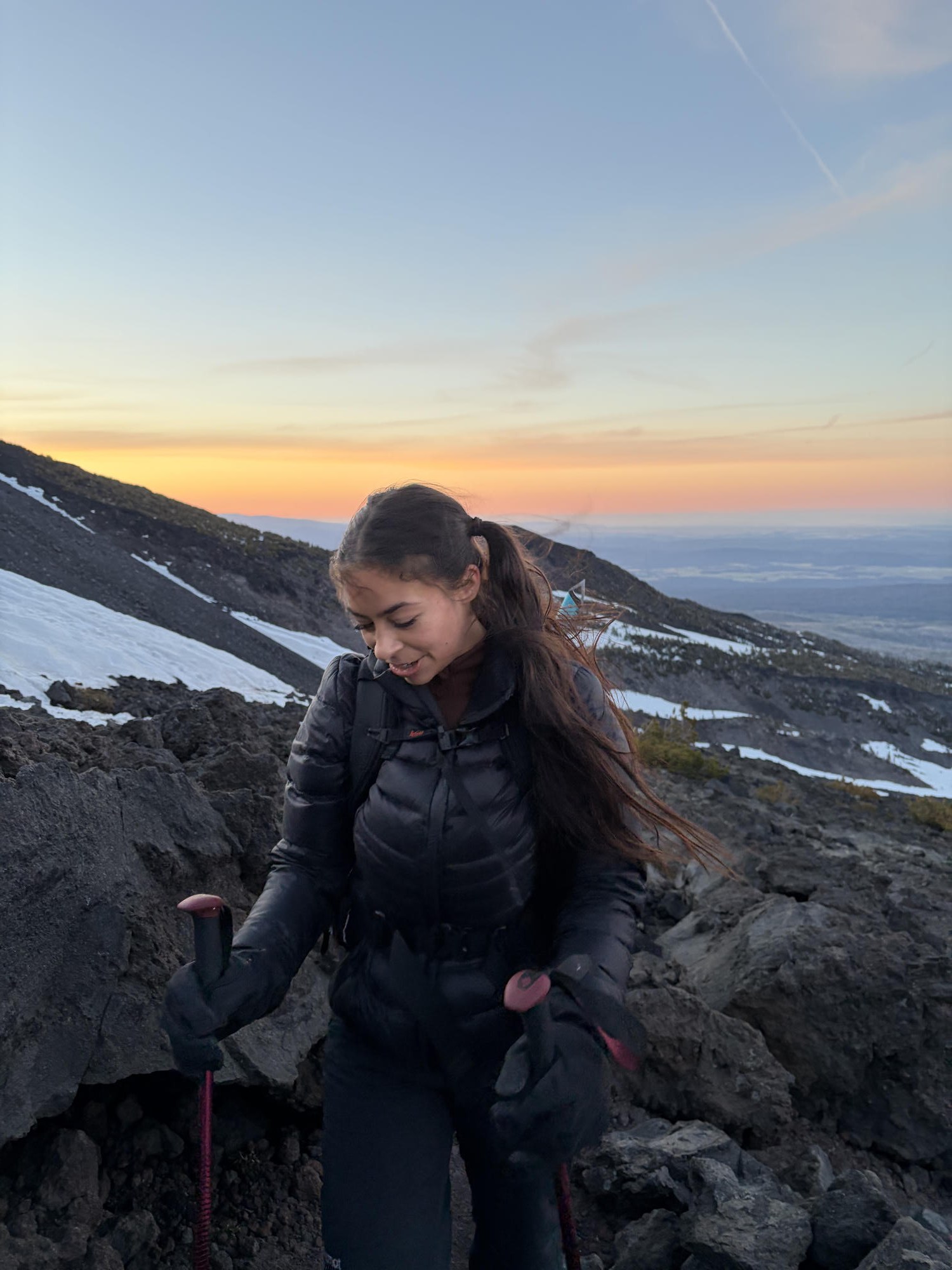
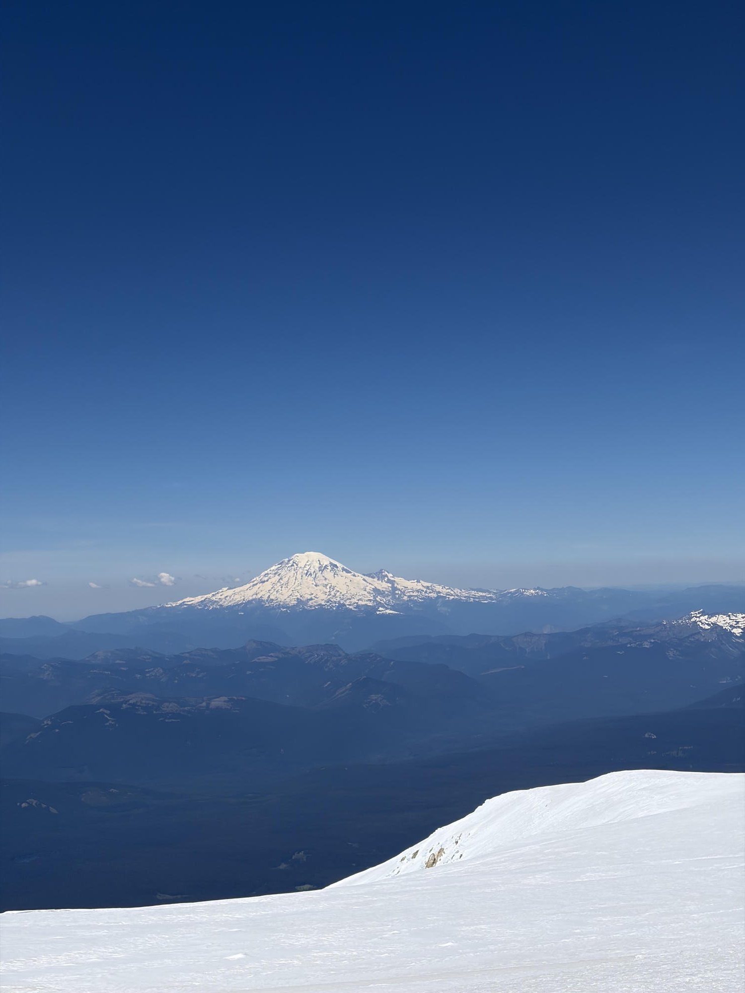
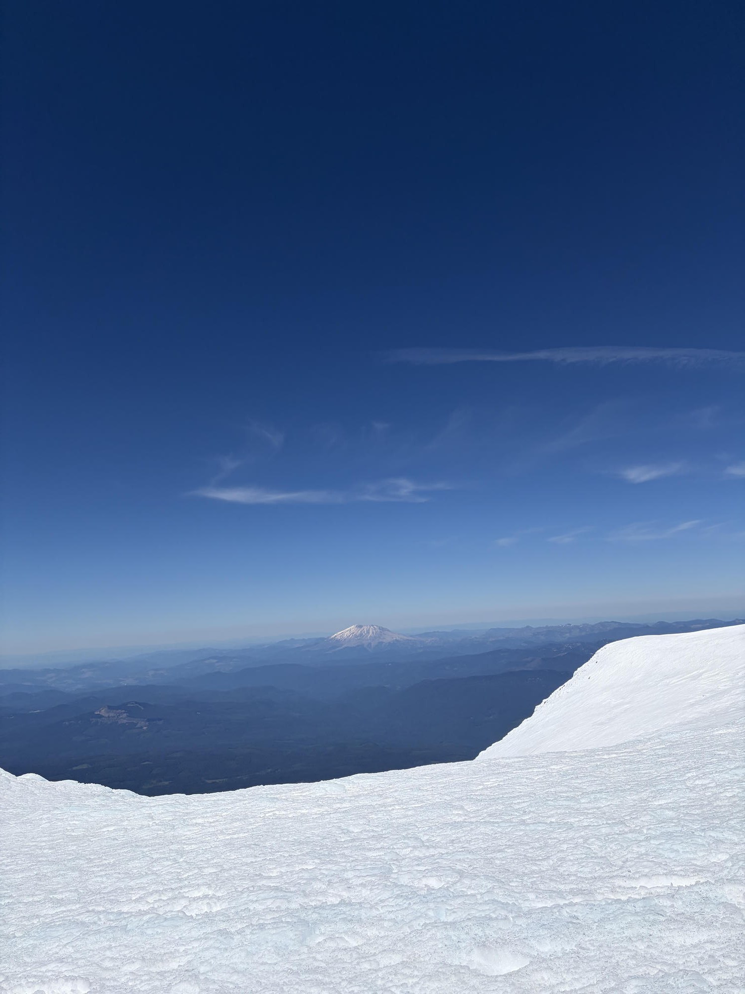
Gorgeous, but one of the hardest single-day hikes I've done — it's all about the altitude and how relentlessly steep it stays. At 12,281 ft it's the second-highest peak in Washington, and the standard South Climb is a serious mountaineering day: you need an ice axe and crampons and should know how to self-arrest. Most people break it up by camping at the Lunch Counter (around 9,000 ft), but it can absolutely be done car-to-car in one very long day if you're fit. You start in the dark in the early morning — partly so the snow is still firm for your crampons, and partly because the stars on the way up are unreal. The descent is the reward: the glissading down the snowfields is some of the best I've ever had, and you can drop thousands of feet of elevation fast. One big warning from experience: the sun exposure up on the snow is brutal. I got legitimate sun poisoning from not wearing a hat, sunscreen, or sunglasses — do not make my mistake. Bring and actually use full sun protection.
Mt. St. Helens (Monitor Ridge)
🌲 Mt. St. Helens National Volcanic Monument, Gifford Pinchot National Forest
- Distance
- ~10 miles round trip (Monitor Ridge)
- Elevation gain
- ~4,500 ft
- Drive
- ~3 hrs from Seattle
- Summit
- 8,363 ft
- Gear needed
- Ice axe (crampons rarely needed)
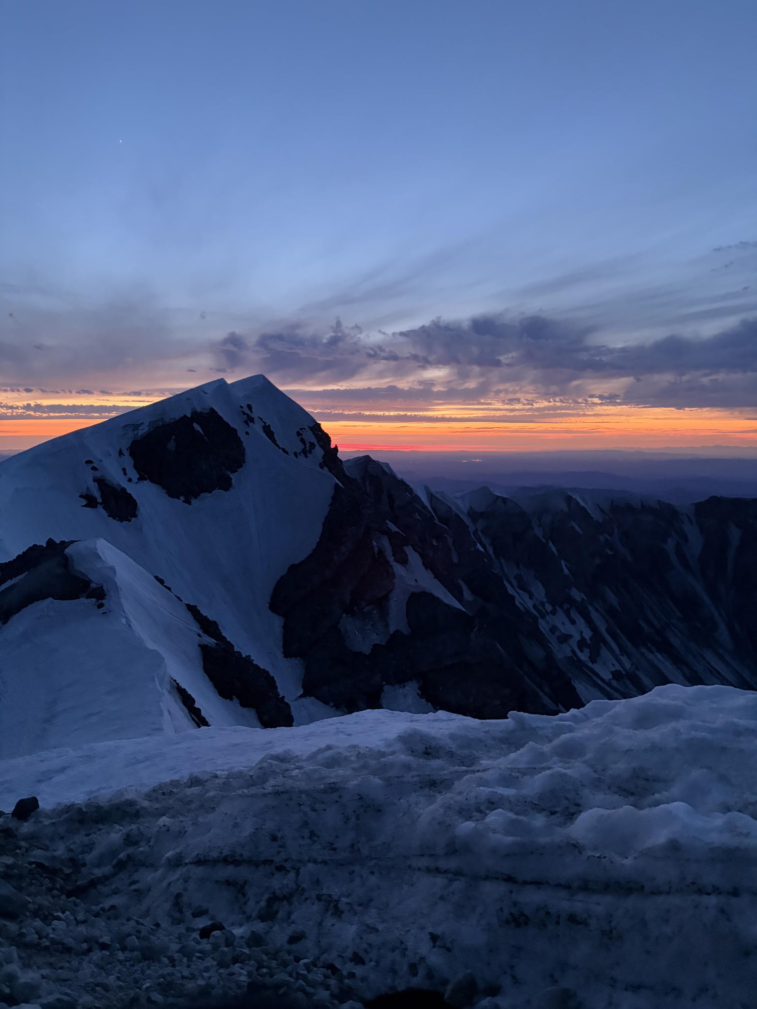
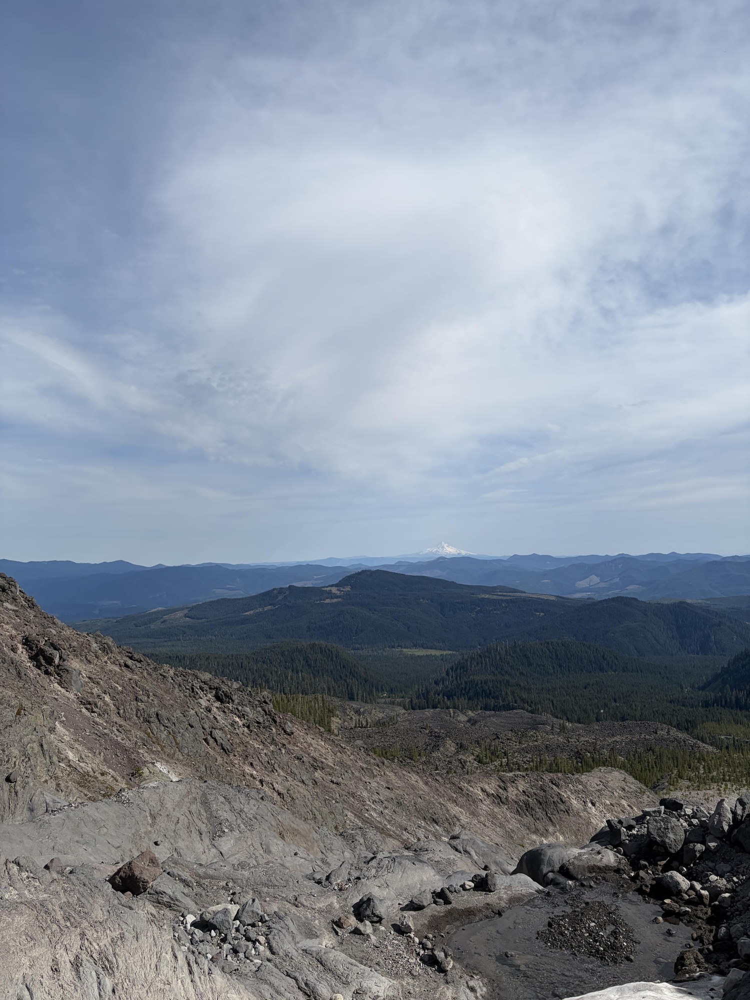
My favorite intro to snow and ice hikes — a great beginner mountaineering volcano. It's the easier of the volcano climbs and not too difficult: it can absolutely be done in a single day, and typically is. An ice axe and crampons are recommended, but honestly you usually don't really need them — the ice axe is mostly for slowing yourself down while glissading, and you'd only want crampons if it got genuinely icy, which is unlikely in summer. The summit is amazing: you stand on the crater rim on the far side from where the whole top blew out in the May 18, 1980 eruption (about 45 years ago), one of the events that changed the world. The blast dropped ash across the region — people in eastern Washington were sweeping it off their cars every morning — and it drifted all the way around the globe. The glissading on the way down is so much fun. The most special part for me: we summited at 9pm for sunset and were the only people on the whole mountain. I love a night hike, but being up there totally alone for that sunset was abnormal and surreal — and then glissading down under the Milky Way is one of my favorite moments in my entire life. First-timer tip: on the snow, tap your toe and kick it in to set each step.
Ptarmigan Ridge
🌲 Mt. Baker Wilderness, North Cascades
- Distance
- 11.4 miles round trip
- Elevation gain
- ~2,326 ft
- Drive
- ~2.5 hrs from Seattle
- Camping
- Free dispersed backcountry (no reservation)
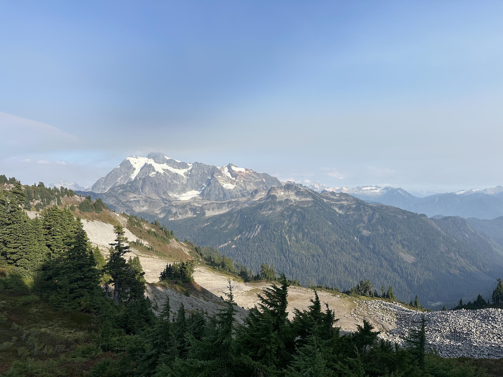
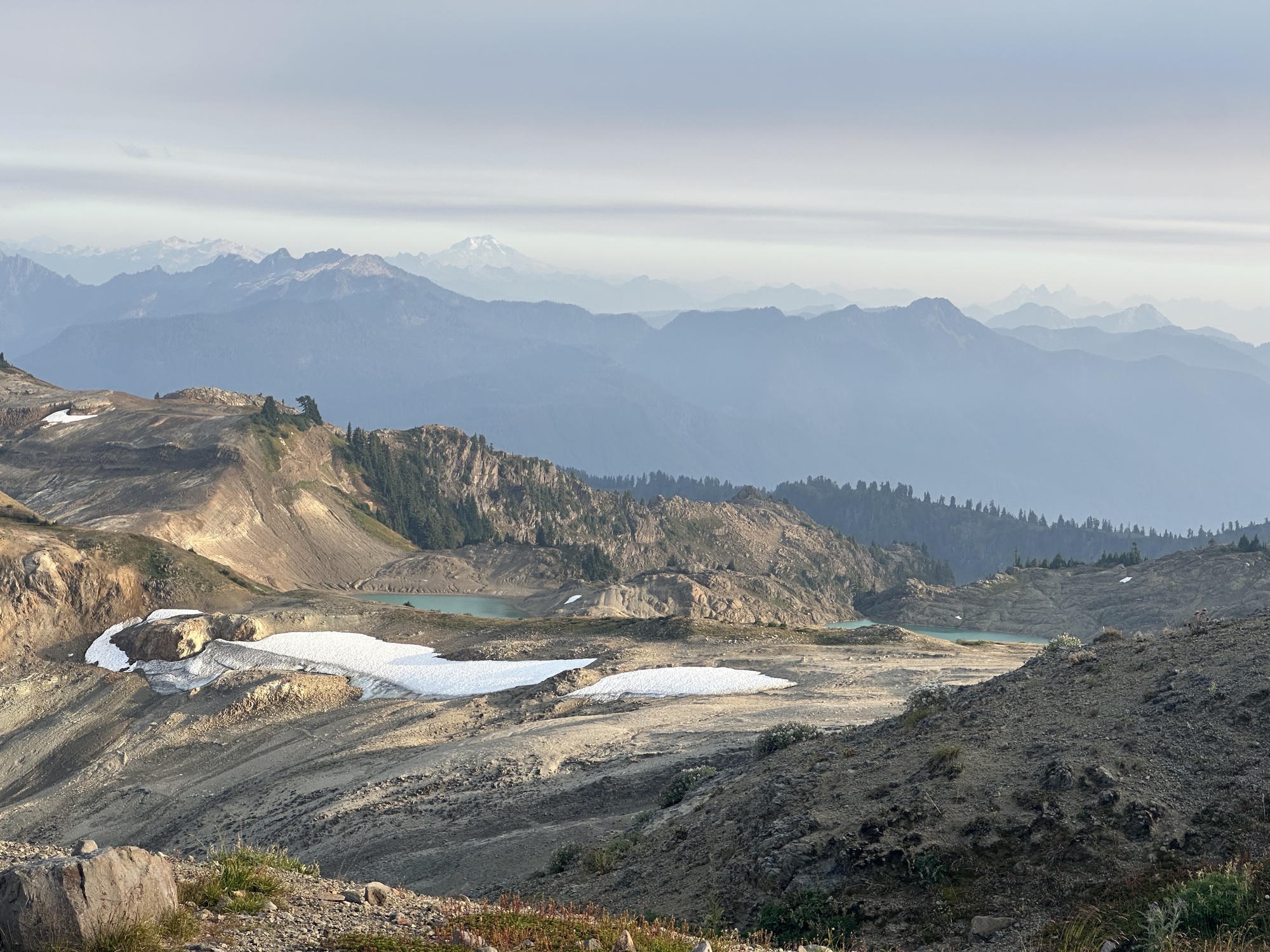
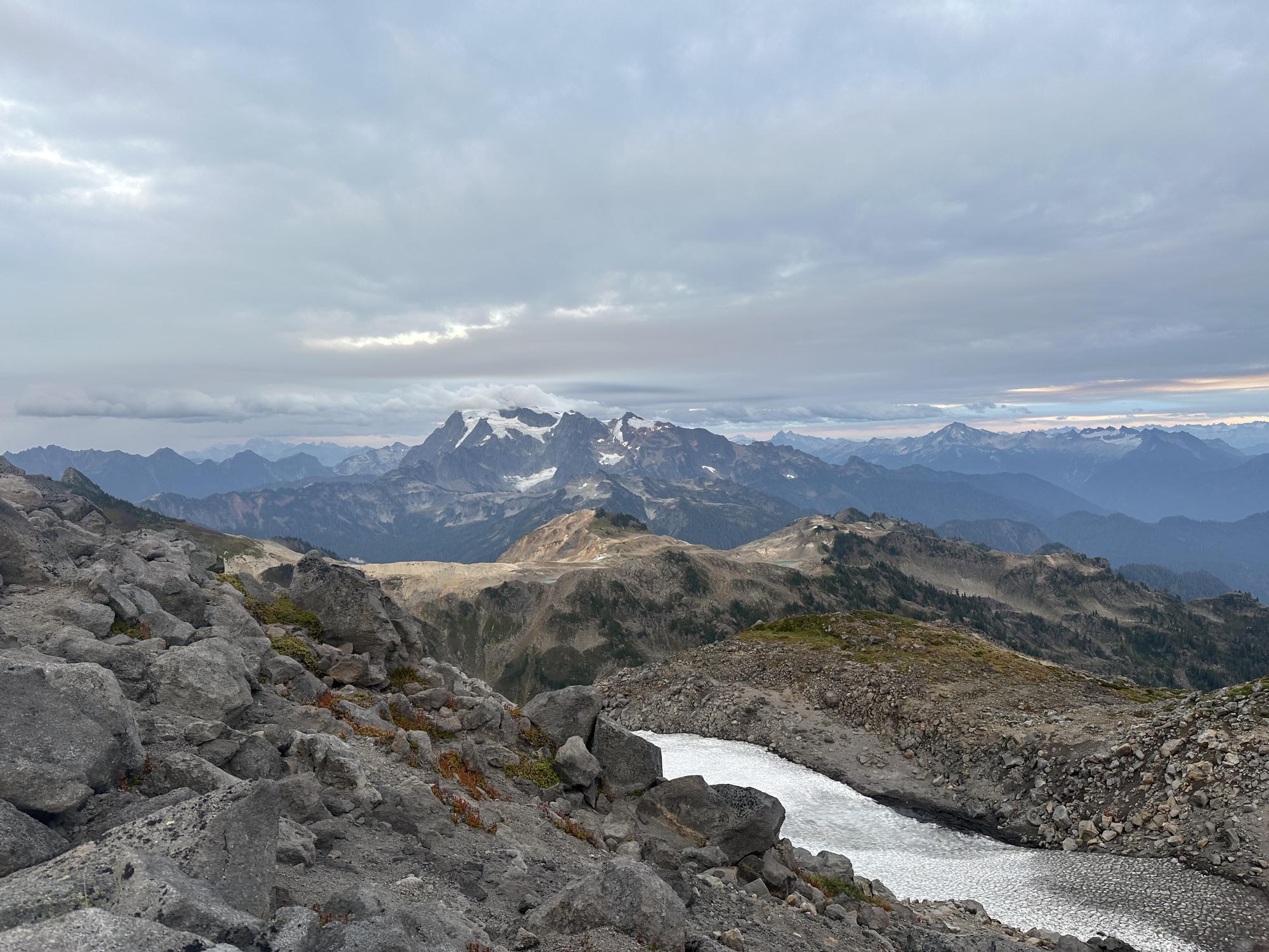
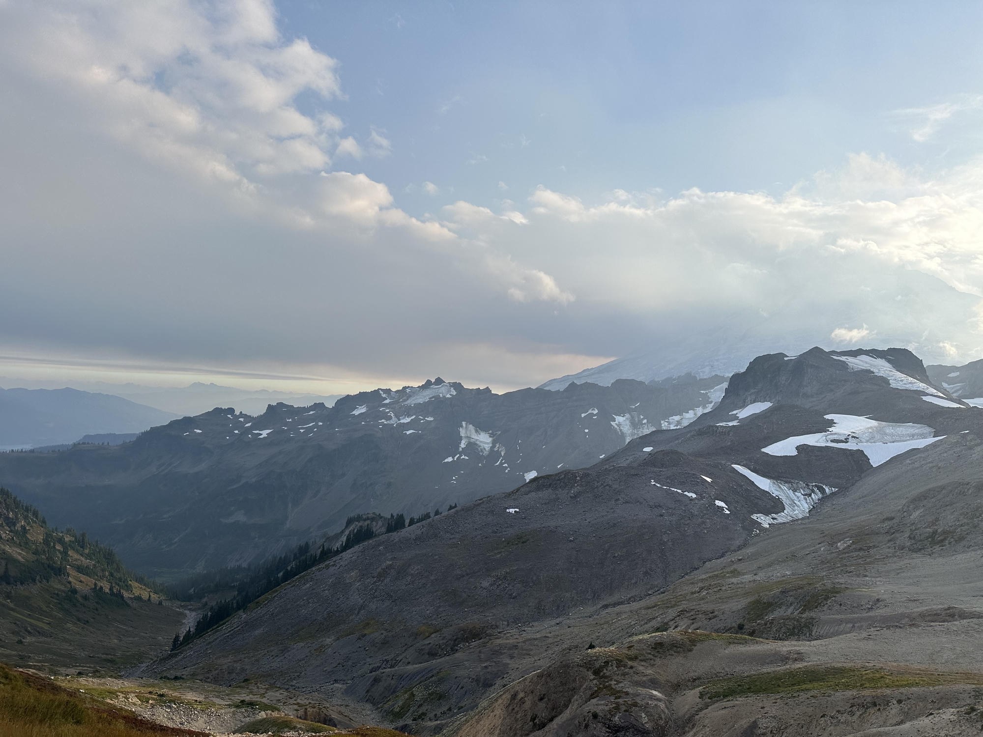
One of the best effort-to-beauty ratios of any hike I've done — it's genuinely jaw-dropping the entire time. Unlike most Cascades hikes, there's no long forested slog to grind through first: you start high and step straight onto the ridge, with dramatic North Cascades peaks wrapped around you from the very first steps — Mount Baker looming on one side and the impossibly jagged Mount Shuksan on the other. The ridge rolls past a couple of gorgeous teal alpine tarns, and in late summer the whole slope is dotted with wild blueberries that are unbelievably tasty — I kept stopping to graze. It's a long day at 11.4 miles, but with only about 2,326 ft of gain it never feels brutal for the distance; it's mostly gentle, rolling ridge-walking with a view in every direction. The camping up here is wonderful too — dispersed backcountry sites near the blue lakes are free (you just need a Northwest Forest Pass to park at Artist Point), and staying overnight lets you catch sunset and sunrise glowing on the volcanoes. Snow can linger across the ridge and the traverses well into summer, so check conditions before you go. If you can, camp at the blue lakes — it's a stunner from start to finish.
No hikes match those filters — try clearing one.